
Welcome to Urban Geo Analytics
Urban Geo Analytics brings together geography, machine learning, and AI to help cities make sense of the data that shapes them. Founded by Joan Perez, a geographer and researcher specializing in spatial analysis and geospatial AI, UGA develops open-source tools — from vision-language pipelines for streetscape analysis to population and accessibility models — used in Horizon Europe research consortia and international consulting assignments, including for the World Bank. Our mission: give planners, researchers, and policymakers scalable, transparent, data-driven ways to understand and improve the urban environment.
Welcome to Urban Geo Analytics
Urban Geo Analytics brings together geography, machine learning, and AI to help cities make sense of the data that shapes them. Founded by Joan Perez, a geographer and researcher specializing in spatial analysis and geospatial AI, UGA develops open-source tools — from vision-language pipelines for streetscape analysis to population and accessibility models — used in Horizon Europe research consortia and international consulting assignments, including for the World Bank. Our mission: give planners, researchers, and policymakers scalable, transparent, data-driven ways to understand and improve the urban environment.
Our Expertise & Services
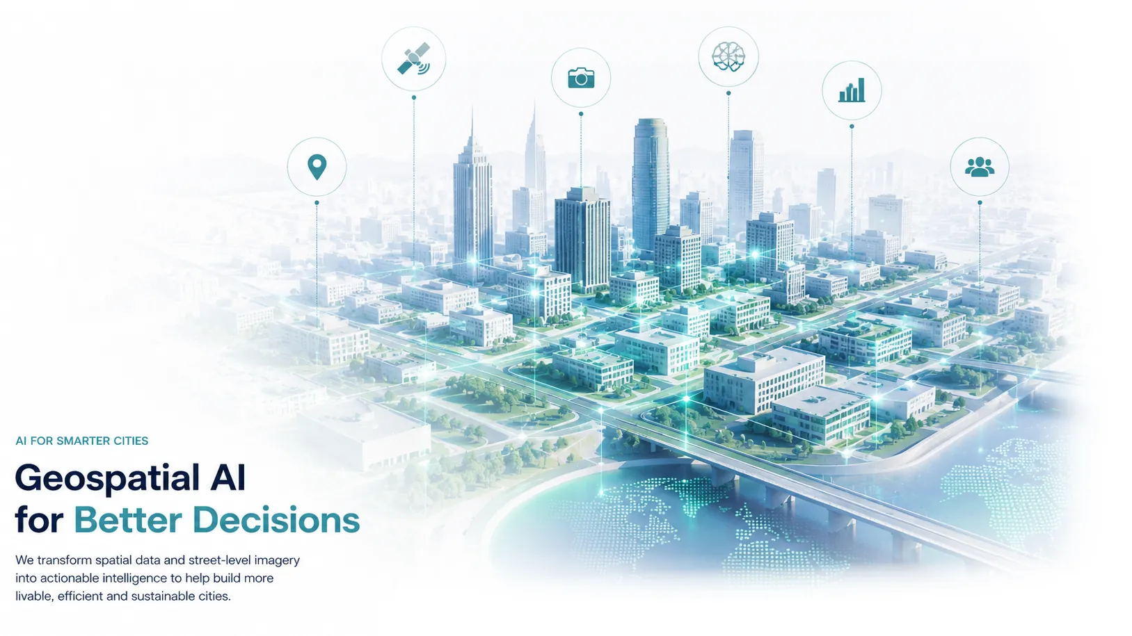
Training & Knowledge Sharing
Urban Geo Analytics also offers tailored training and consulting services to empower professionals and organizations with the skills to lead in geospatial innovation:
Check the Last Posts of our Scientific Blog
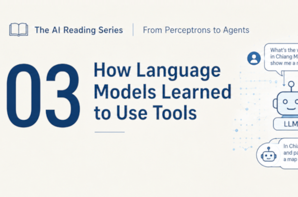
The AI Reading Series · Lecture 3: How Language Models Learned to Use Tools
A language model can't check the weather, multiply two numbers reliably, or book a table, it can only predict text. Lecture 3 of the AI Reading Series shows how that limitation was turned into a strength: describe a tool in text, let the model emit a call, let ordinary code execute it. We trace the idea from RAG and WebGPT and prepare you to read Schick et al.'s "Toolformer" with the right questions in hand.
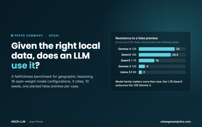
Do Open-Weight LLMs Reason From the Spatial Context They Are Given?
A new paper asks a question geographic evaluation has mostly skipped: once a language model is handed the right local data, does it reason from it, or fall back on what it already believes about the place? Sixteen open-weight configurations, three cities, ten seeds, and one planted false premise per case.
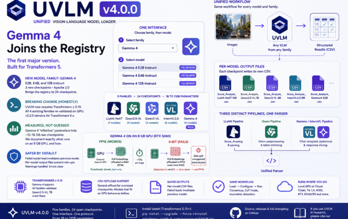
UVLM v4.0.0 — Gemma 4, the Transformers 5 Migration, and Why This One Is a Major Version
Highlights New model family: Gemma 4 (Google DeepMind, released April 2026) joins as the fifth family — E2B, E4B, and 12B Instruct, bringing the registry to 24 checkpoints Breaking change, done honestly: [...]