Urban environments are complex, data-rich, and constantly evolving. At Urban Geo Analytics, we harness the power of machine learning and generative AI to translate this complexity into actionable insight. Our tools uncover patterns, generate maps, simulate change — and now, even produce visuals and narratives — using AI not as a buzzword, but as a working engine for spatial understanding.
Learning the City: Our AI-Driven Mission
We design and apply machine learning models to classify space, detect typologies, and generate new urban insights from geospatial and visual data. Our goal is to empower planners, researchers, and communities with intelligent tools that interpret the city at scale — far beyond what manual methods can offer.
Our focus spans:
-
Spatial classification and clustering
-
Generative AI for visual analysis and simulation
-
Large Language Models (LLMs) fine-tuned or prompted for urban applications
-
Multimodal models combining maps, text, and imagery
From real-time streetscape analysis to prompt-driven planning scenarios, we turn cutting-edge AI into practical urban tools.
Tools, Models & Methods
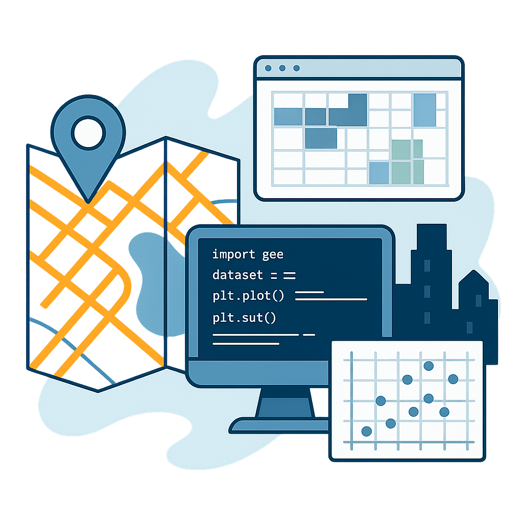
We combine supervised and unsupervised learning (decision trees, clustering, regression) with spatial features from OpenStreetMap, satellite imagery, and street-level photos. Using Python, Scikit-learn, and custom classifiers, we carry out large-scale tasks like building-type classification, height estimation, or population mapping.
To push boundaries further, we integrate vision-language models (e.g., CLIP, BLIP, LLaVA) for zero-shot urban scene interpretation, using natural language prompts to extract features like:
-
Sidewalk presence
-
Storefront activity
-
Façade transparency
-
Urban-rural classification
We also build tools with LoRA, ControlNet, and ComfyUI for image and video-based urban simulation. These enable participatory processes: modifying streetscapes, animating transitions, or visualizing scenarios — directly from user inputs or sketches.
For natural language-based interaction, we can tailor LLMs (e.g., GPT-like models) to answer spatial questions, auto-generate captions, or assist with urban reporting.
Deliverables & Benefits
-
Machine learning models tailored to urban use cases (e.g., typology detection)
-
Prompt-ready vision-language models for automated interpretation of street-level imagery
-
Tailored LLMs trained or prompted for urban planning and spatial analytics
-
Workflows and notebooks for classification, regression, or semantic segmentation
-
Participatory visual simulation tools built on generative image/video pipelines
-
Full documentation, prompt templates, and explainability features for decision support
We build transparent, modular, and scalable systems — designed to be deployed by municipalities, universities, or startups alike.
What We’ve Done
Generative AI for Streetscape Analysis
Qwen Image Edit for Urbanism
Clustering of Urban Fabrics in Osaka
Classification & Clustering techniques
Spatio-temporal Clustering of Building Types
Ready to bring AI-powered urban analysis into your workflow? Let’s talk about your project — whether you’re looking to map, simulate, or imagine the city in smarter ways. Get in touch with us.