Geospatial Consulting Services
🔧 Vision-Language Model Service
We develop and deploy vision-language models (VLMs) for automated visual analysis of urban environments. Using zero-shot prompting and custom inference pipelines — built on architectures such as LLaVA and Qwen2.5-VL — our tools interpret street-level imagery, satellite data, and field photographs without retraining. Applications range from automated streetscape scoring and building classification to participatory planning tools that generate and evaluate urban scenarios in real time. All pipelines are documented, reproducible, and deployable on local hardware, cloud servers, or decentralised compute networks.

🧠 Generative Image, Video & Scene Editing
We build purpose-built generative AI applications for spatial and urban contexts, using diffusion models (Stable Diffusion, SDXL, Flux, Qwen-Image-Edit) for controlled image and video transformation. For urban planning and architecture, this means photorealistic before-and-after streetscape edits, facade material substitution, vegetation scenarios, and animated video clips that simulate pedestrian flows or traffic conditions — generated from a single photograph. Applications are delivered as web platforms, mobile tools for field use, or batch pipelines for city-scale imagery. Every pipeline is tailored to the client’s domain, not a generic model interface.
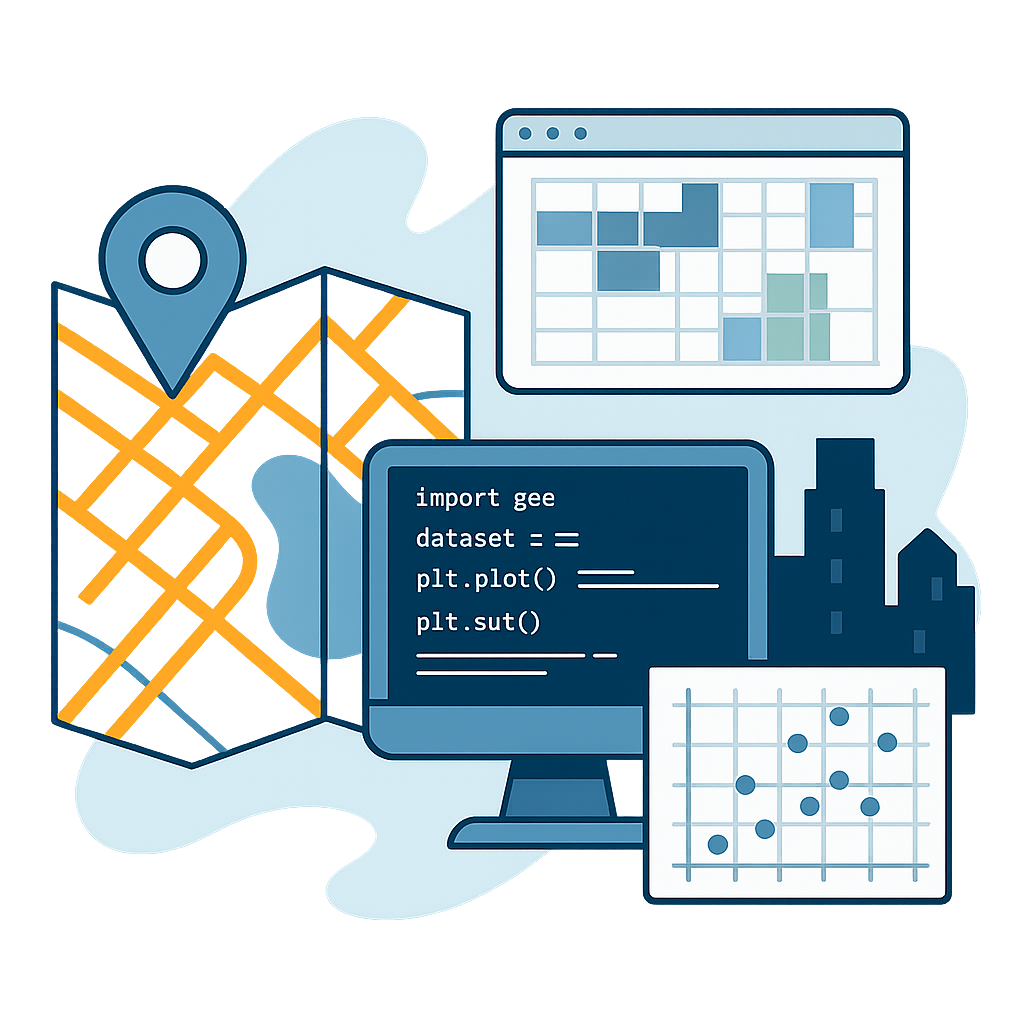
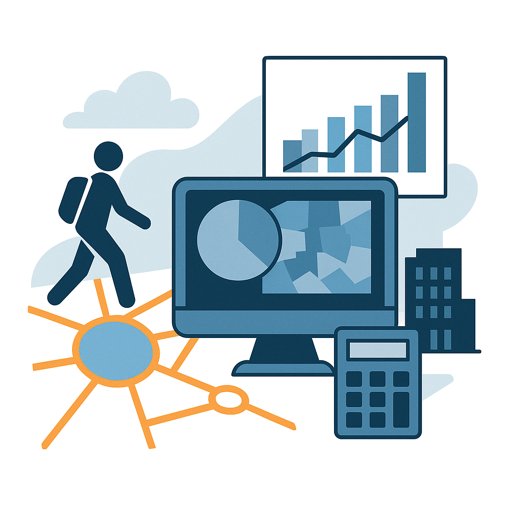
📊 Geospatial Analysis & Urban Intelligence
Urban Accessibility & Planning Analysis involves modeling population catchments to assess service coverage and spatial demand. It includes pedestrian network accessibility analysis to evaluate walkability and support the development of 15-minute city strategies. This approach also addresses spatial equity, examining how urban services and infrastructure are distributed across neighborhoods. Additionally, morphometric and floor-area estimation techniques are used to quantify the built environment and analyze urban density patterns.
🌐 IoT, Blockchain & Decentralised AI
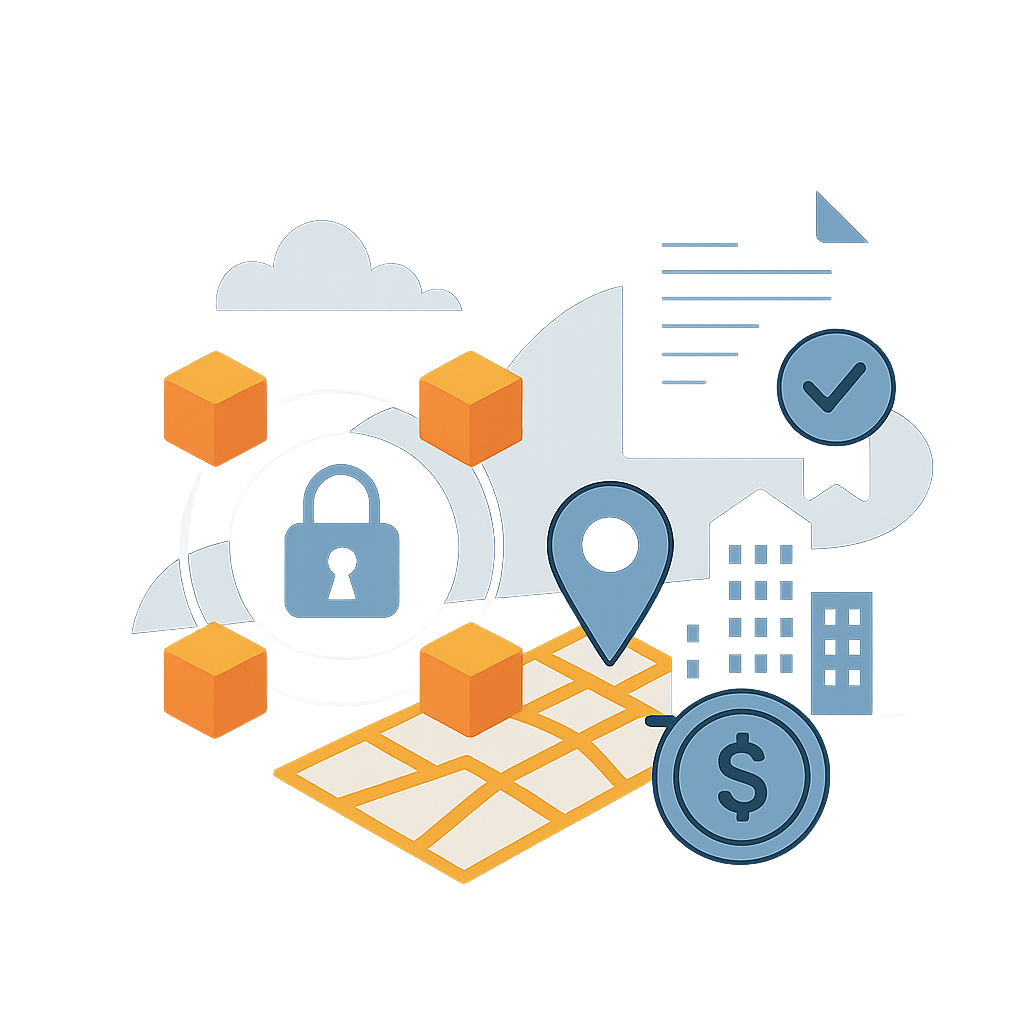
Blockchain for urban data enables decentralized, transparent, and secure management of spatial information across institutions, communities, and platforms. By integrating token-based mechanisms and IoT-connected devices, it supports real-time, crowdsourced data collection for participatory urban sensing. Smart contracts can automate and regulate the sharing of geospatial data. Coupled with GIS systems, blockchain technology opens the door to new governance models — such as decentralized autonomous organizations (DAOs) — for managing urban infrastructure, digital commons, and collective intelligence. These protocols help build resilient, citizen-led ecosystems for data traceability, sensor interoperability, and cross-institutional collaboration in the smart city era.
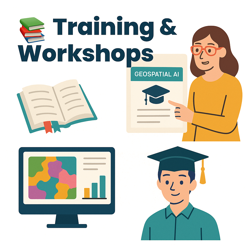
📚 Training & Workshops
Training and workshops focus on building practical and conceptual expertise in geospatial artificial intelligence and cloud computing. These sessions include hands-on workshops covering setup, execution, and interpretation of GeoAI workflows, as well as foundational modules on tools, ethical considerations, and real-world applications. Tailored programs are offered for institutions such as municipalities, universities, and NGOs, while technical mentoring is available for graduate students and early-career researchers seeking guidance in geospatial data science and AI-driven spatial analysis.